
 |
 |
||||||||
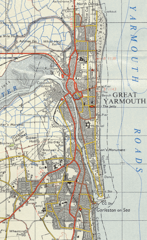
| Great Yarmouth - Ordnance Survey Map, 1 inch to 1 mile(1969) | ||||
 |
||||
|
Reproduced by kind permission of Ordnance Survey. © Crown Copyright NC/02/3723. The GE railway line from Yarmouth South Town station to Beccles and the M&GN routes from Yarmouth Beach, including the Breydon Viaduct, have all been closed and removed. Significant development has occurred in Bradwell and in the Cliff Park, Shrublands and Magdelen Estate areas of Gorleston. However development within Yarmouth itself is more limited due to the restrictions imposed by the rivers and the coastline although the new power station can be seen on South Denes. |
||||